20% off Lodge Rooms at Estes Park Center
Use Code FG20
for stays September 2-November 20, 2-night minimum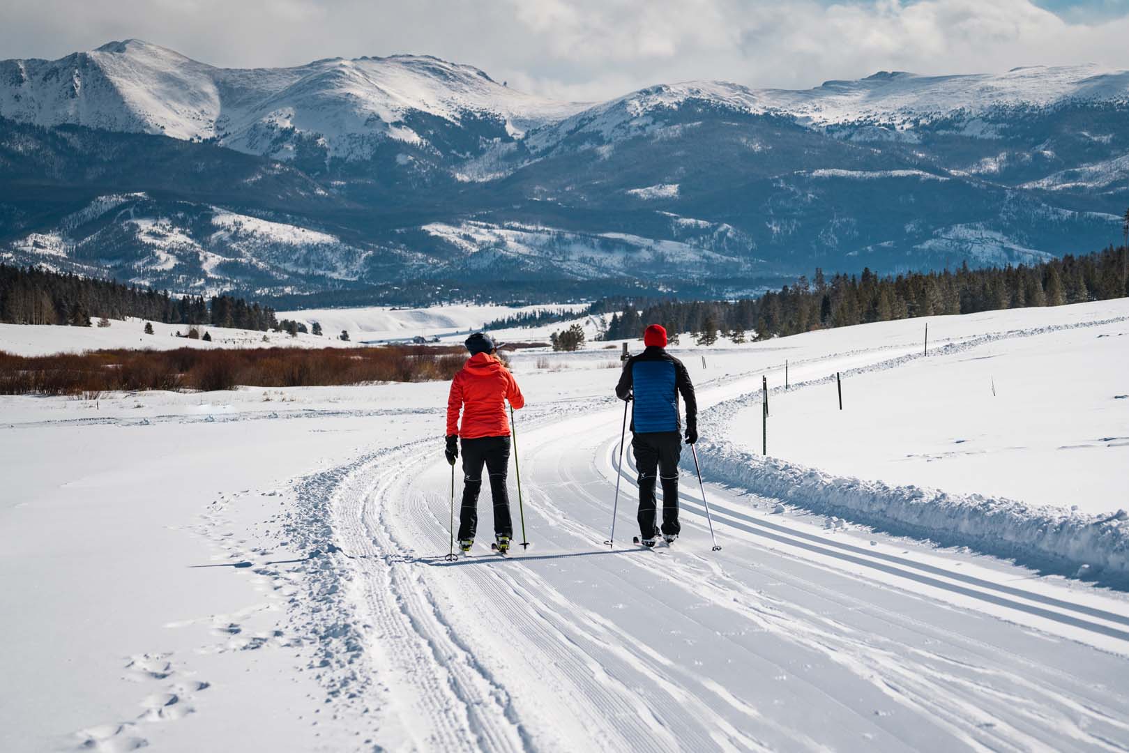
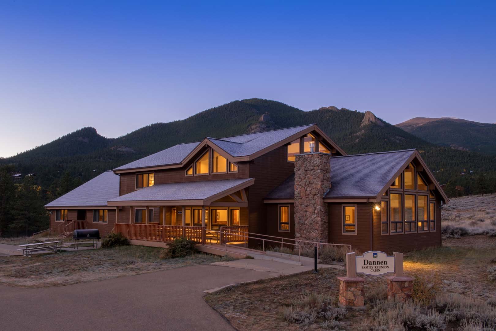
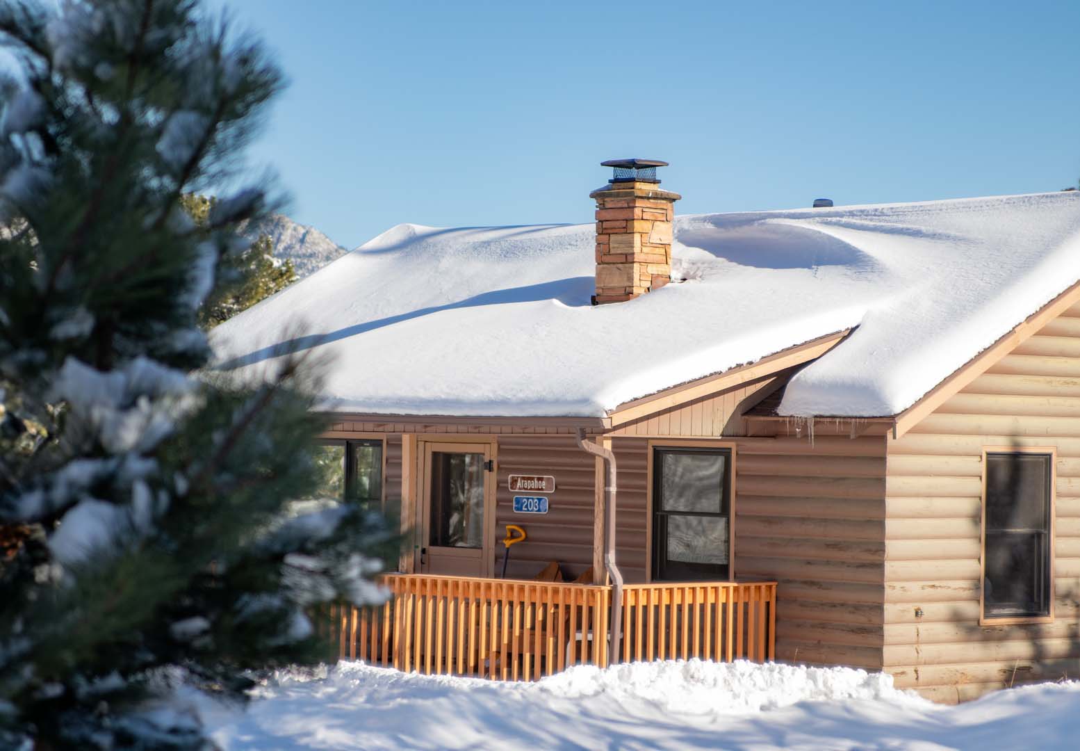
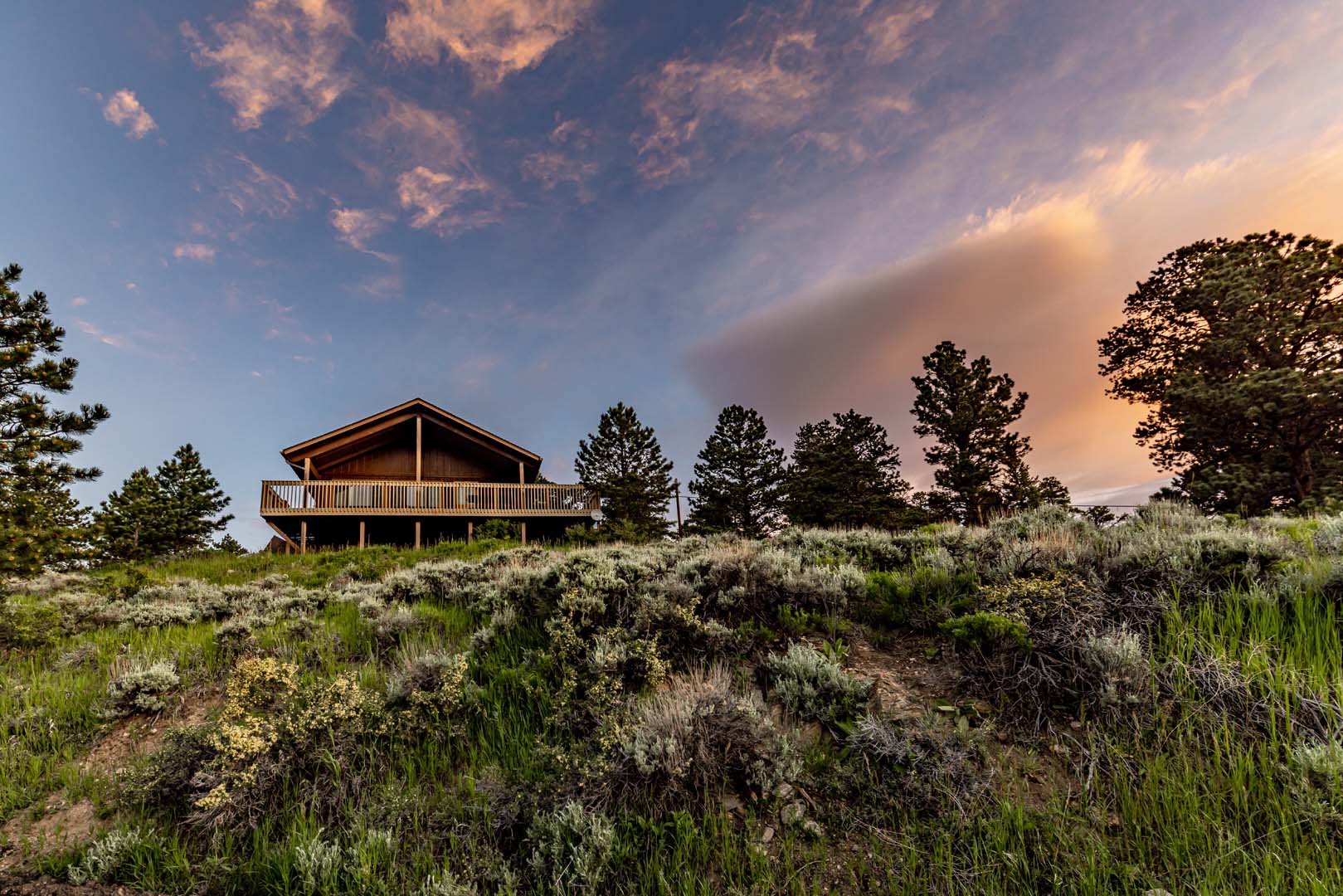
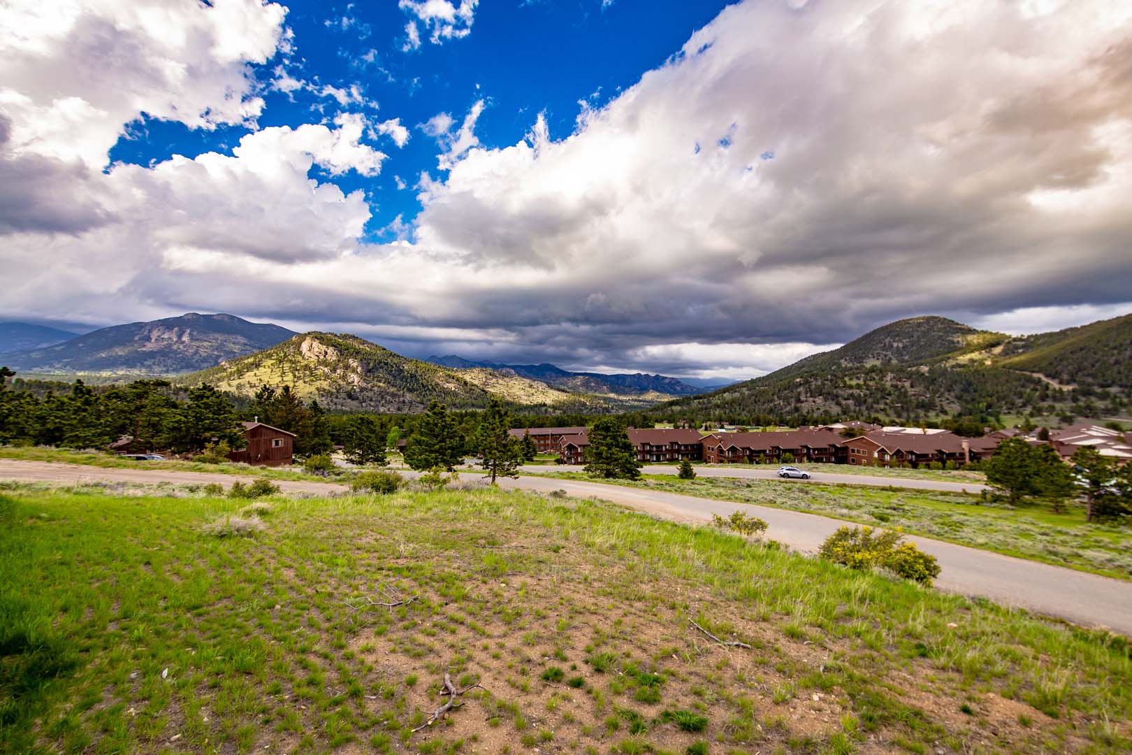
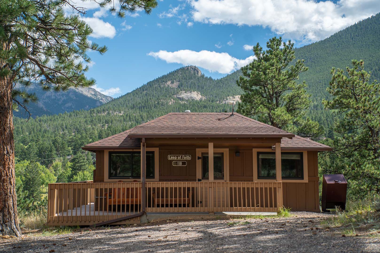
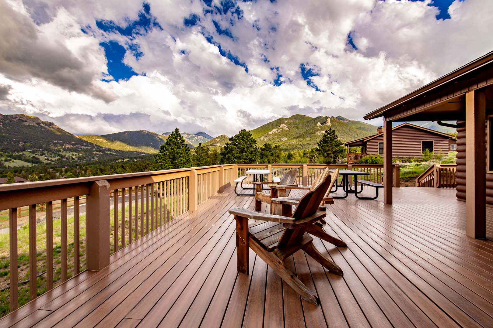
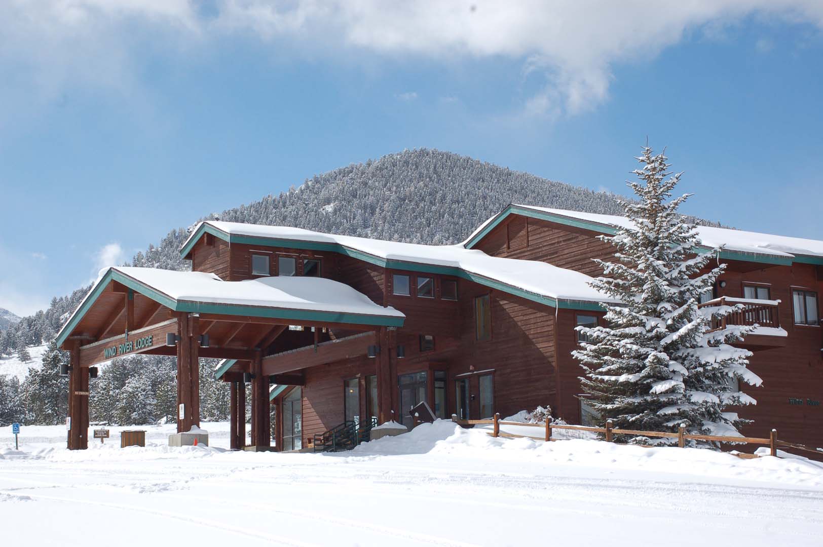
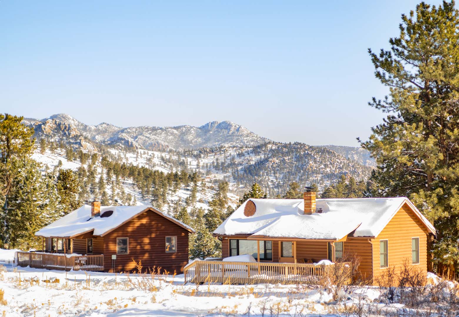
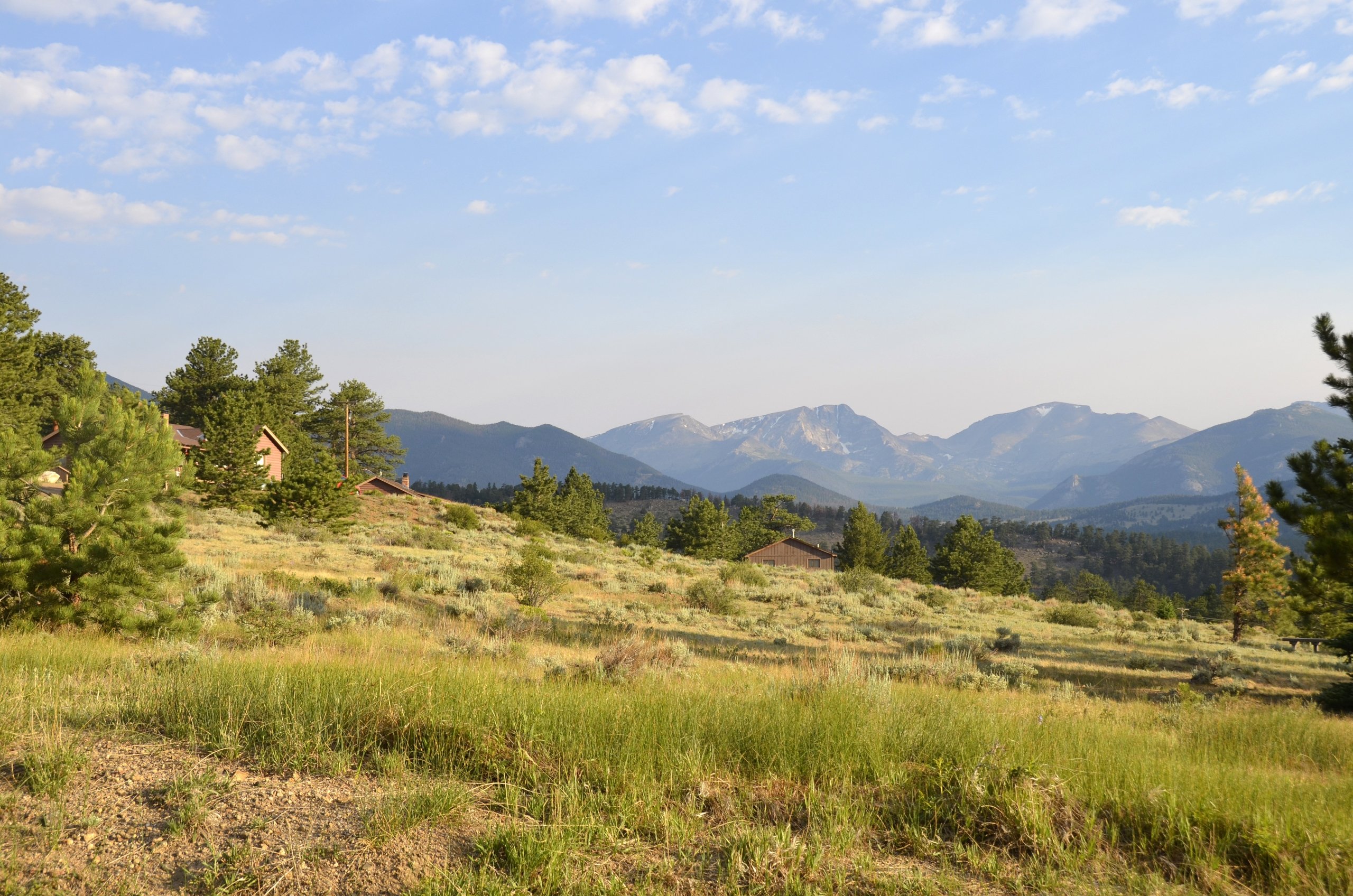
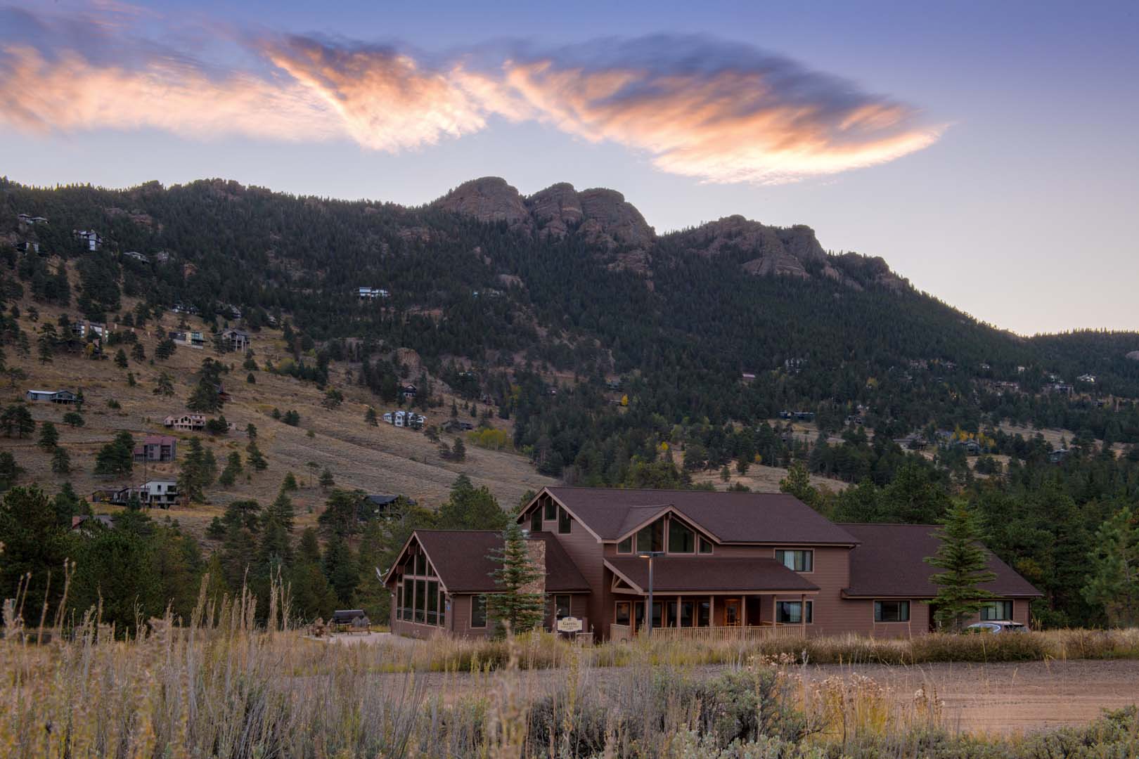
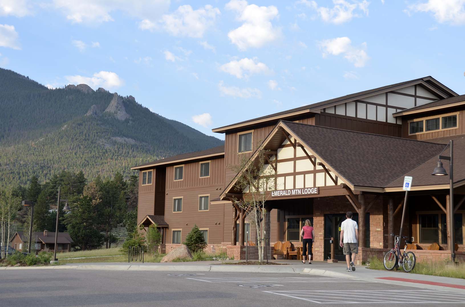
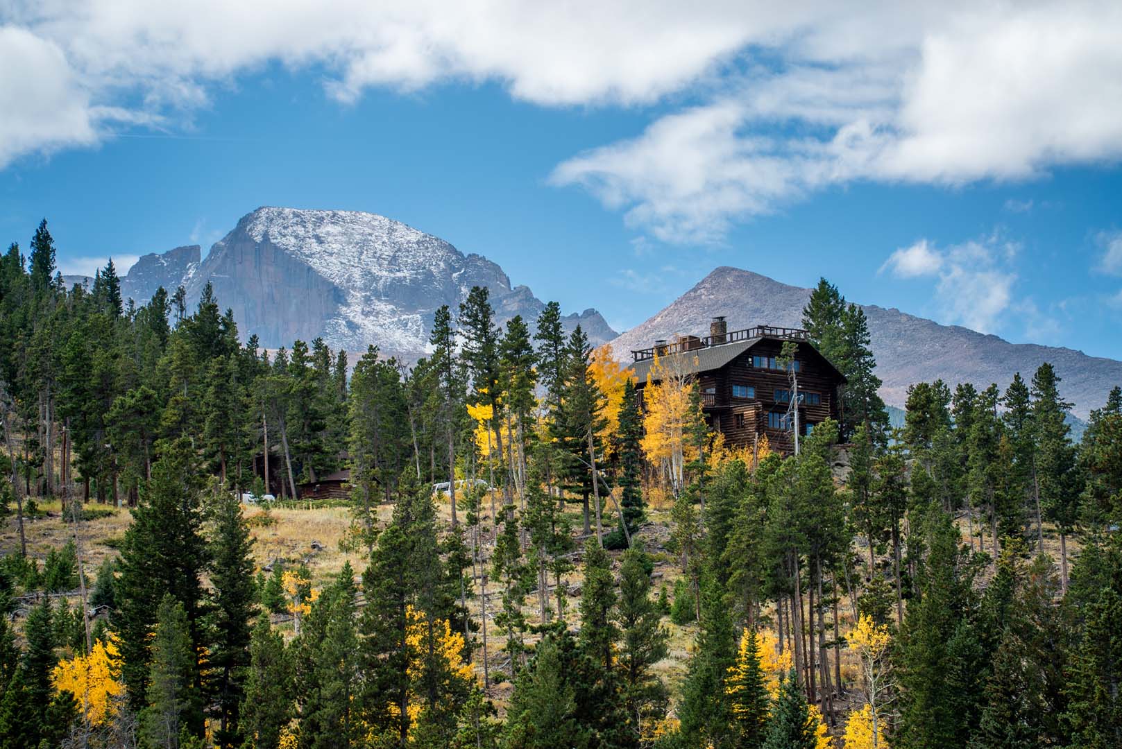
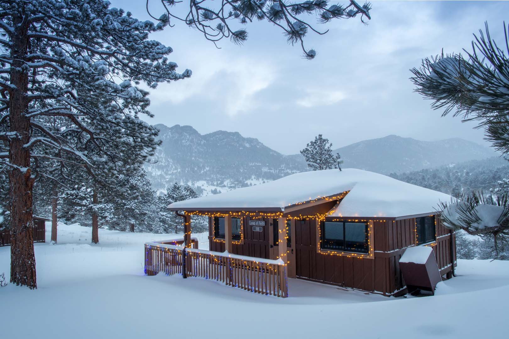
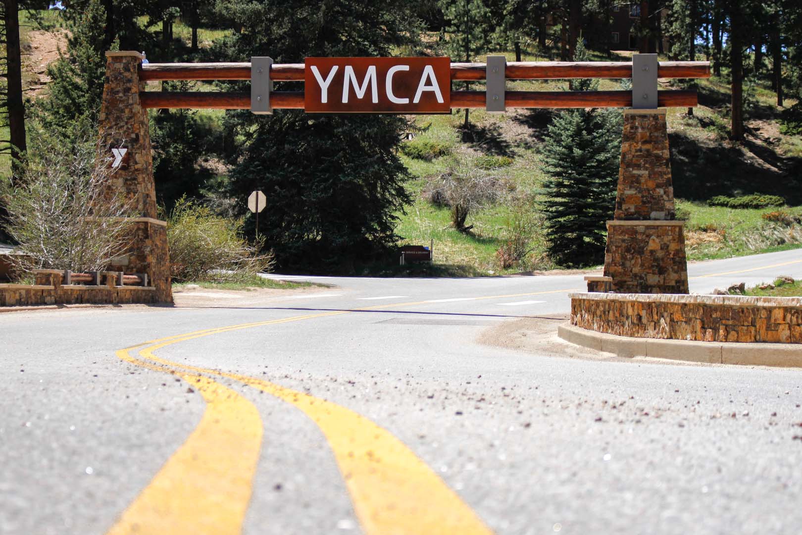
Lodging at Estes Park Center – Cabins & Affordable Stays
Experience true Rocky Mountain living with our array of accommodations, ranging from cozy private cabins to comfortable hotel-style lodge rooms.
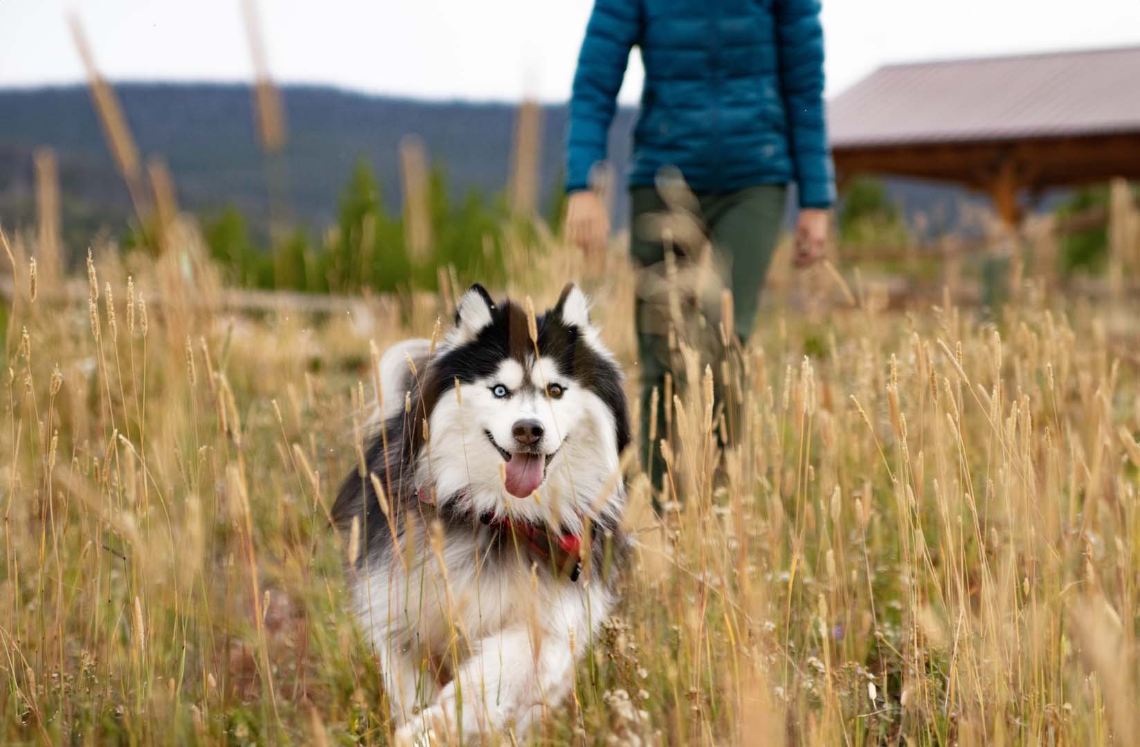
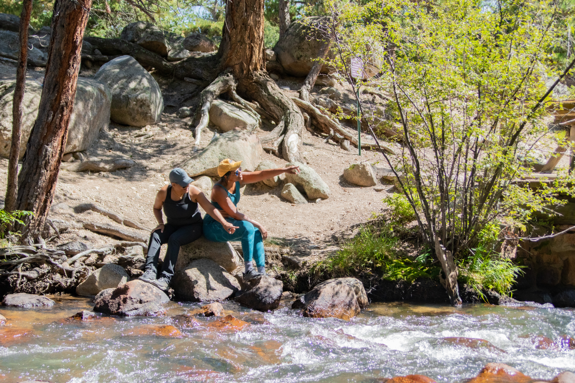
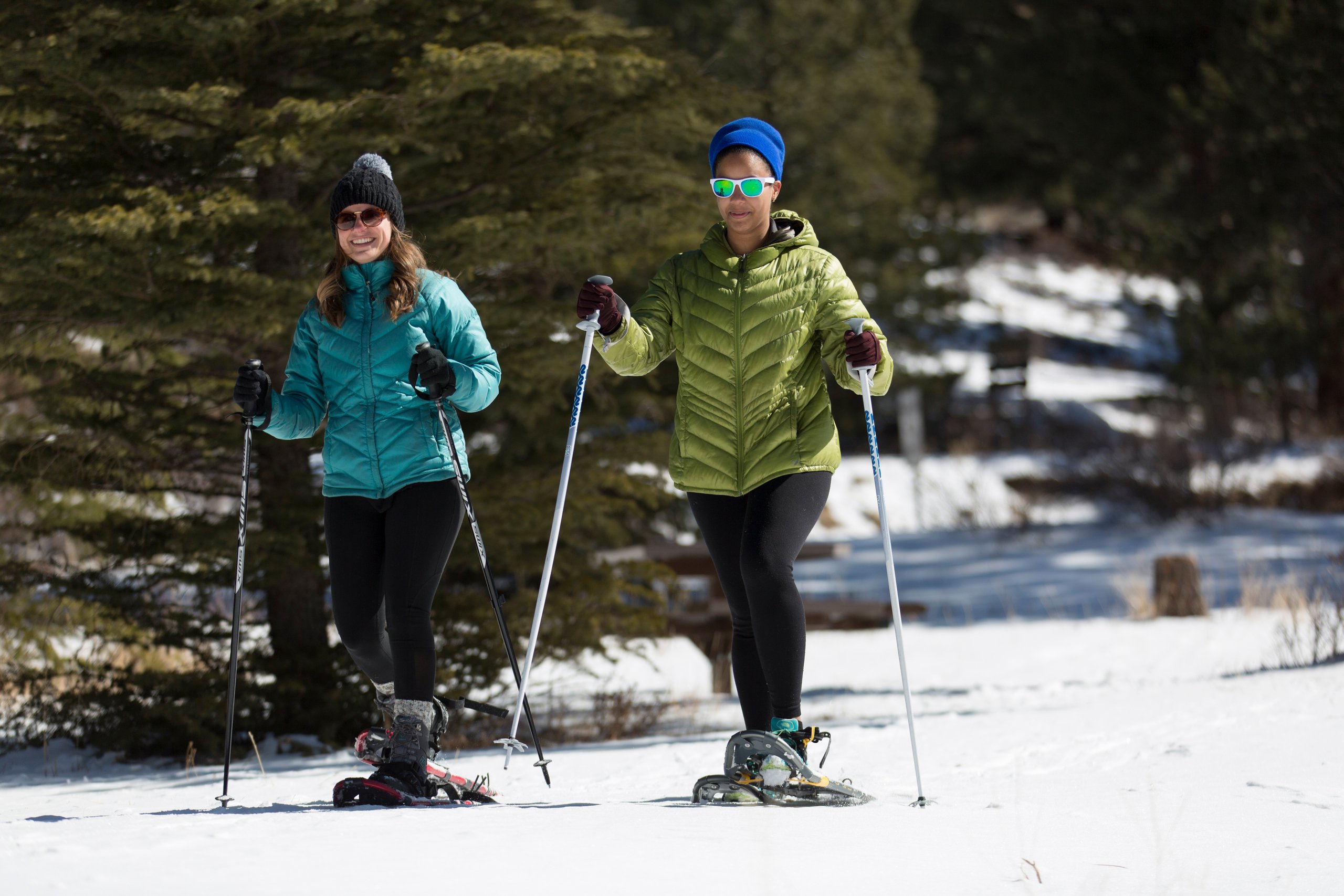
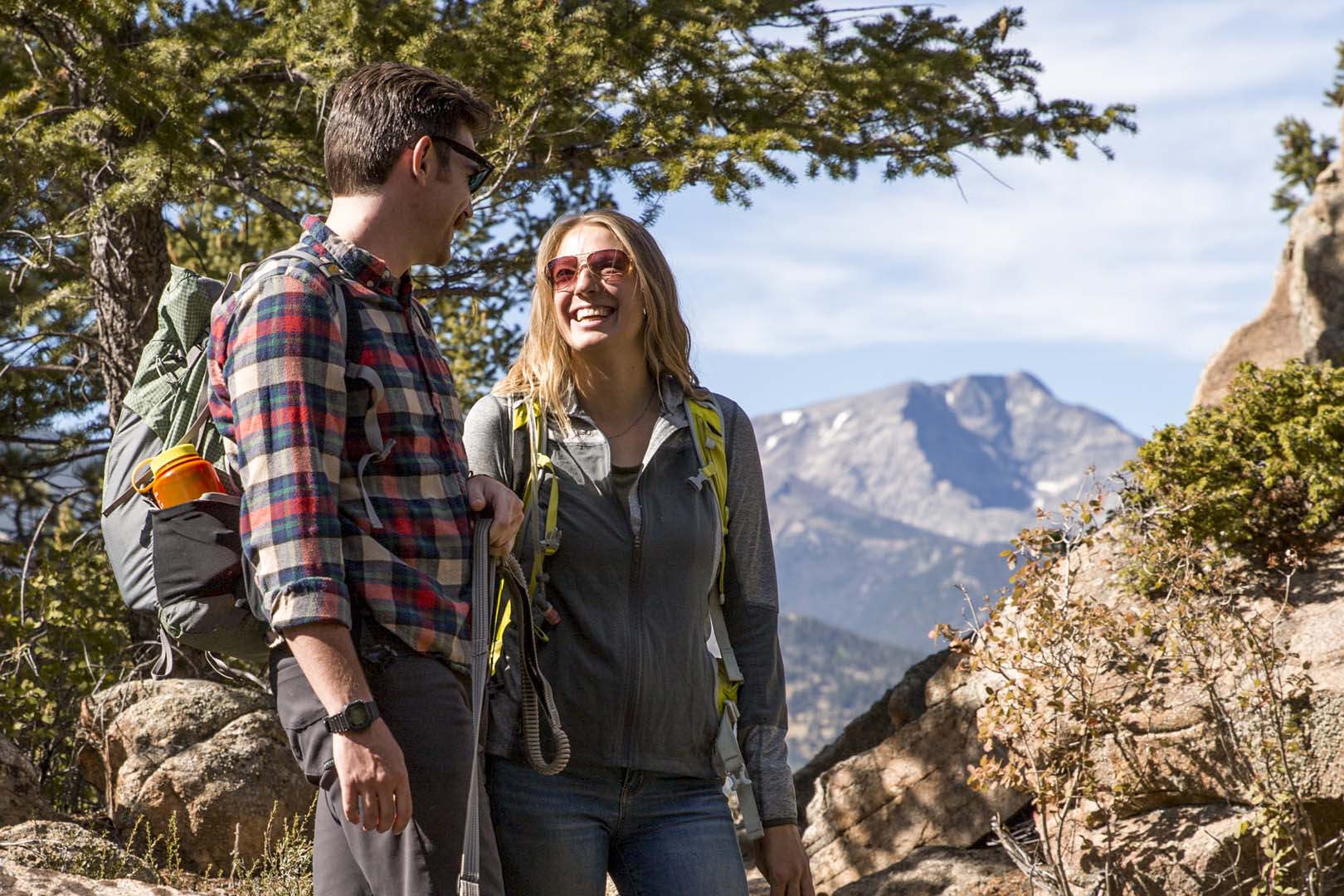
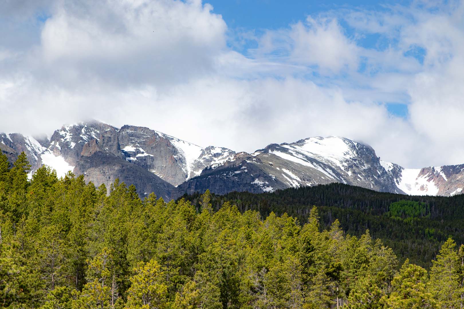
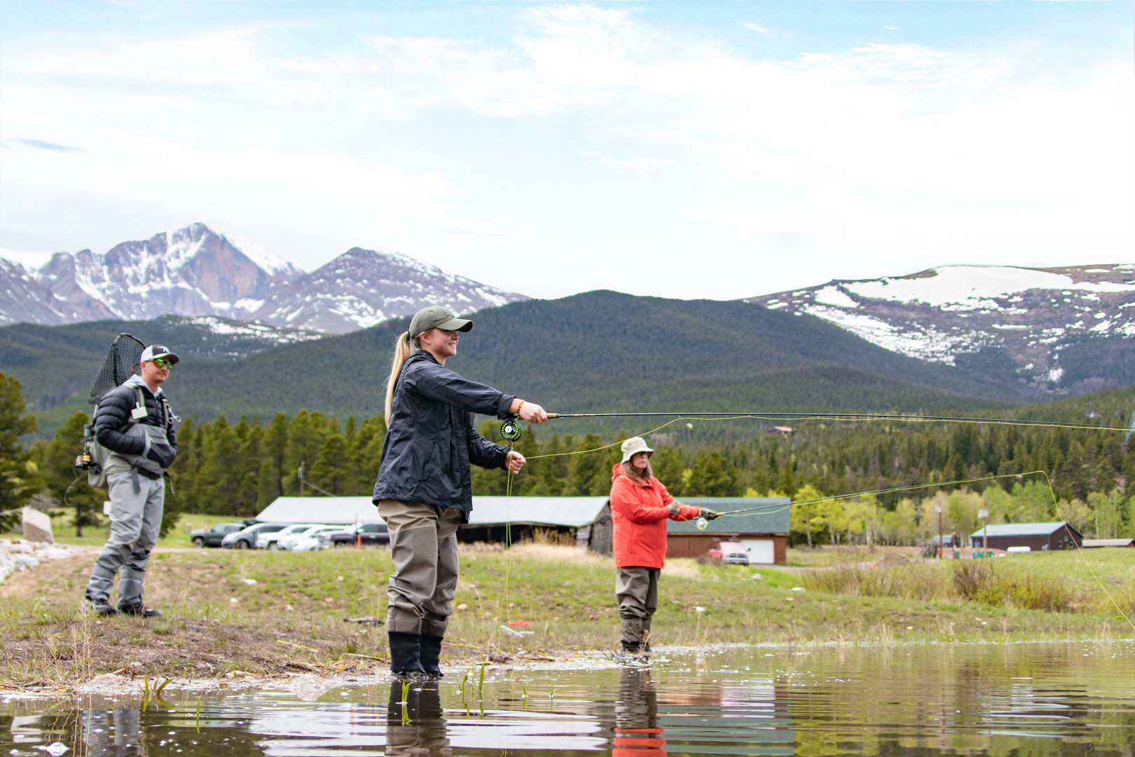
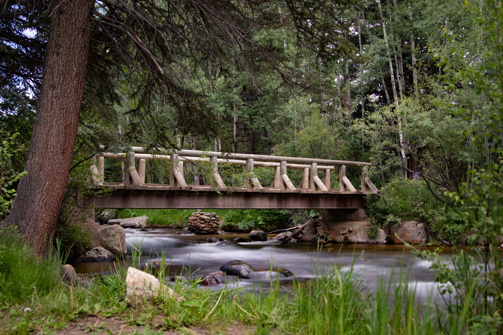
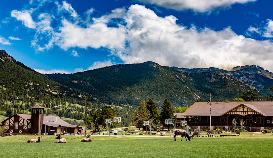
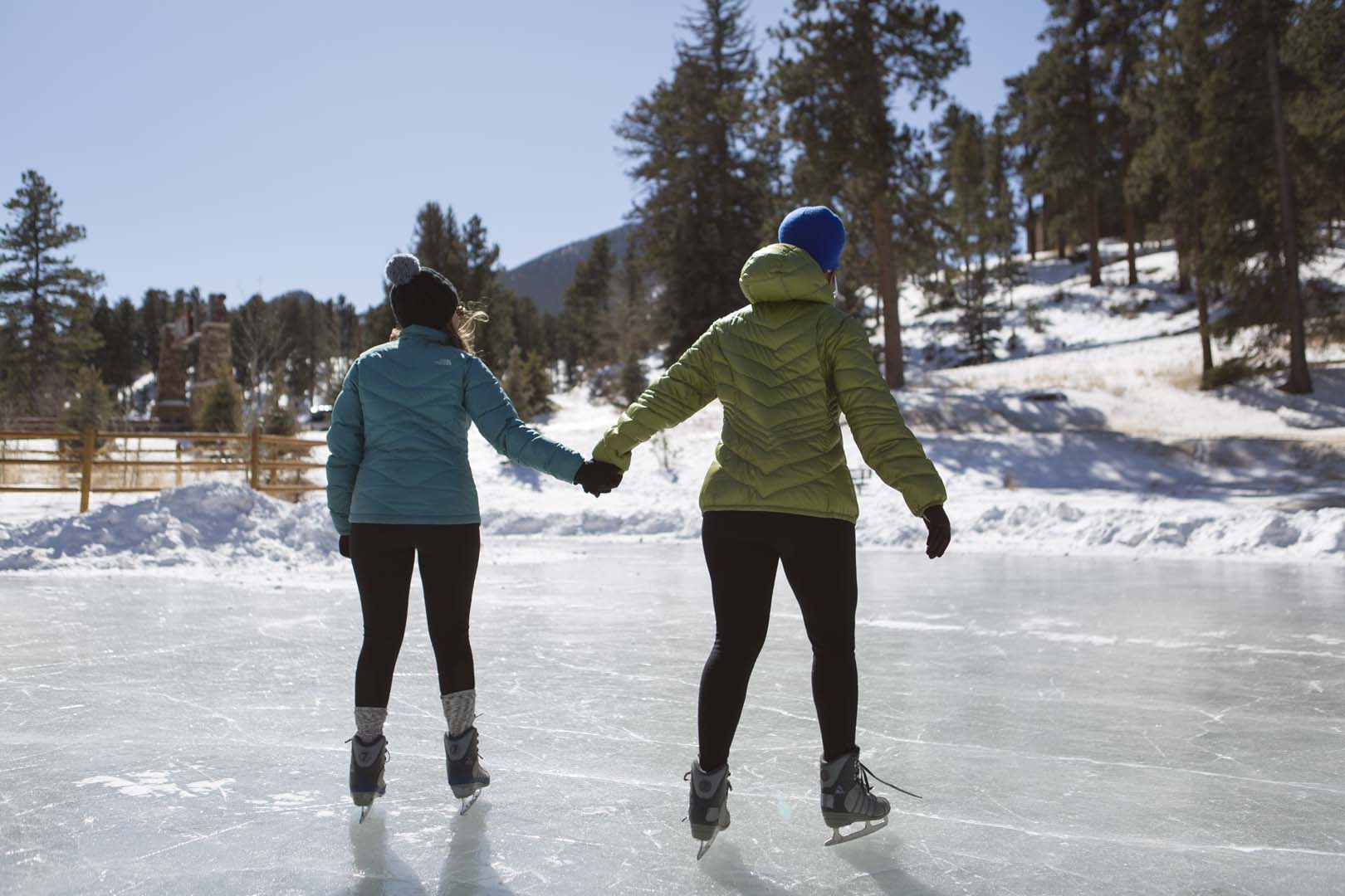
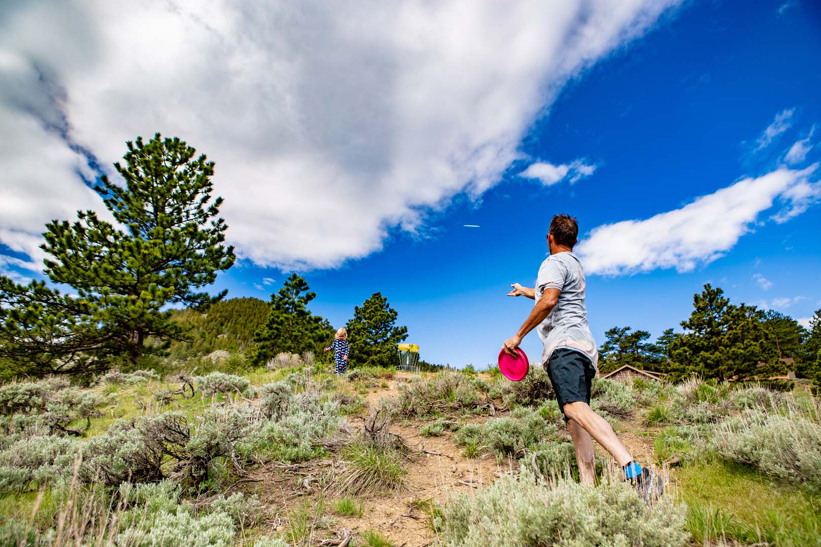
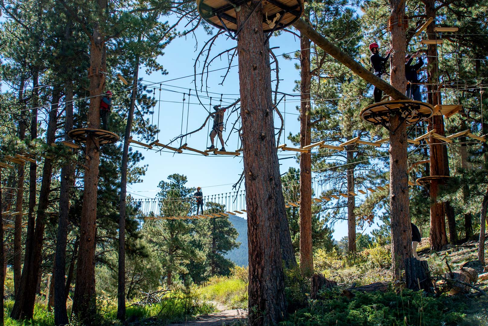
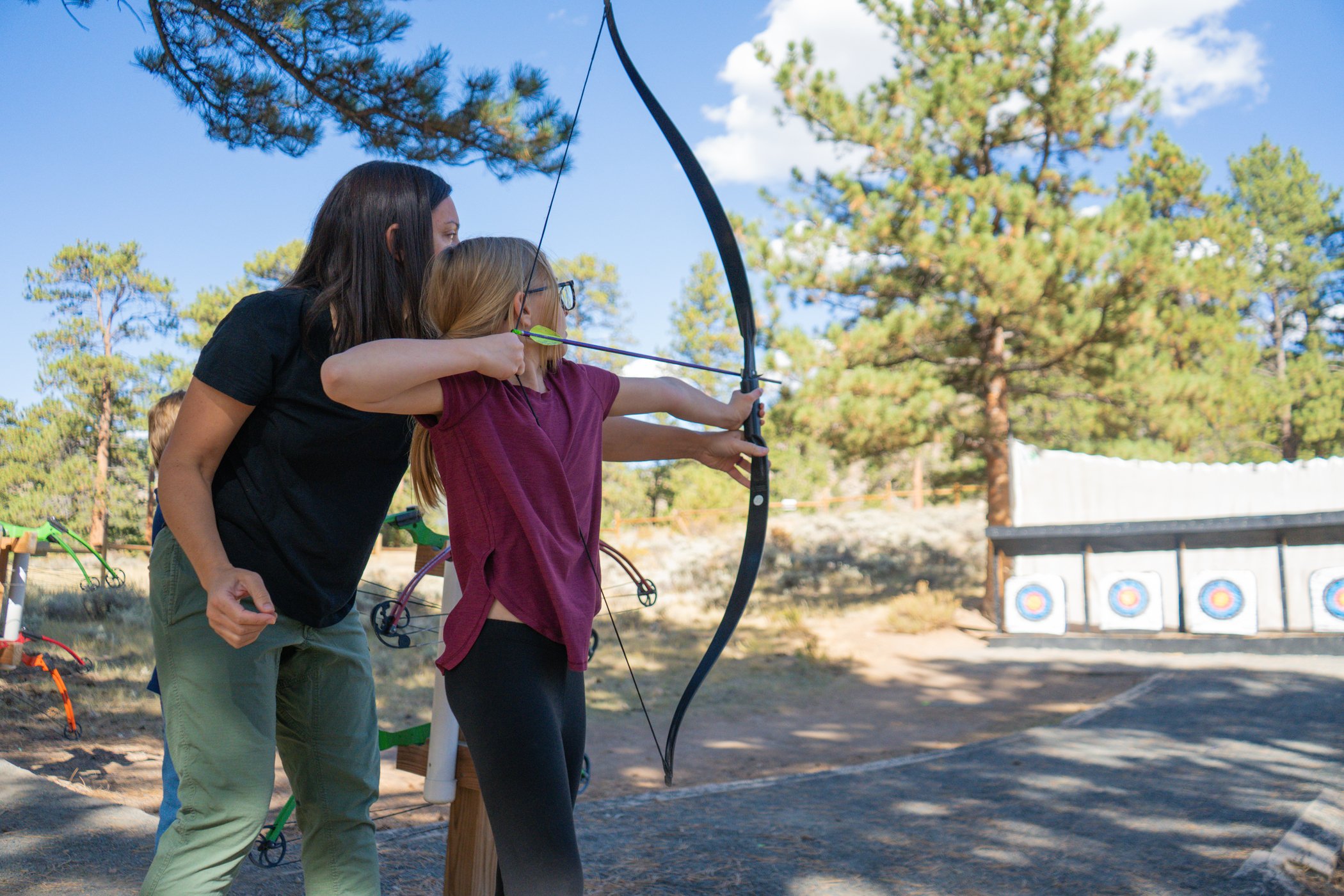
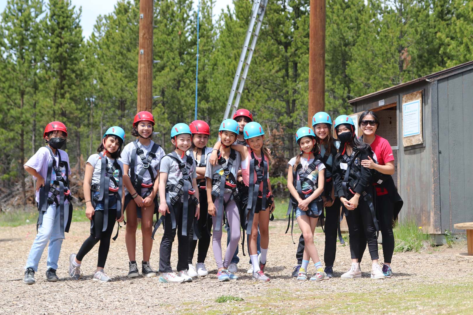
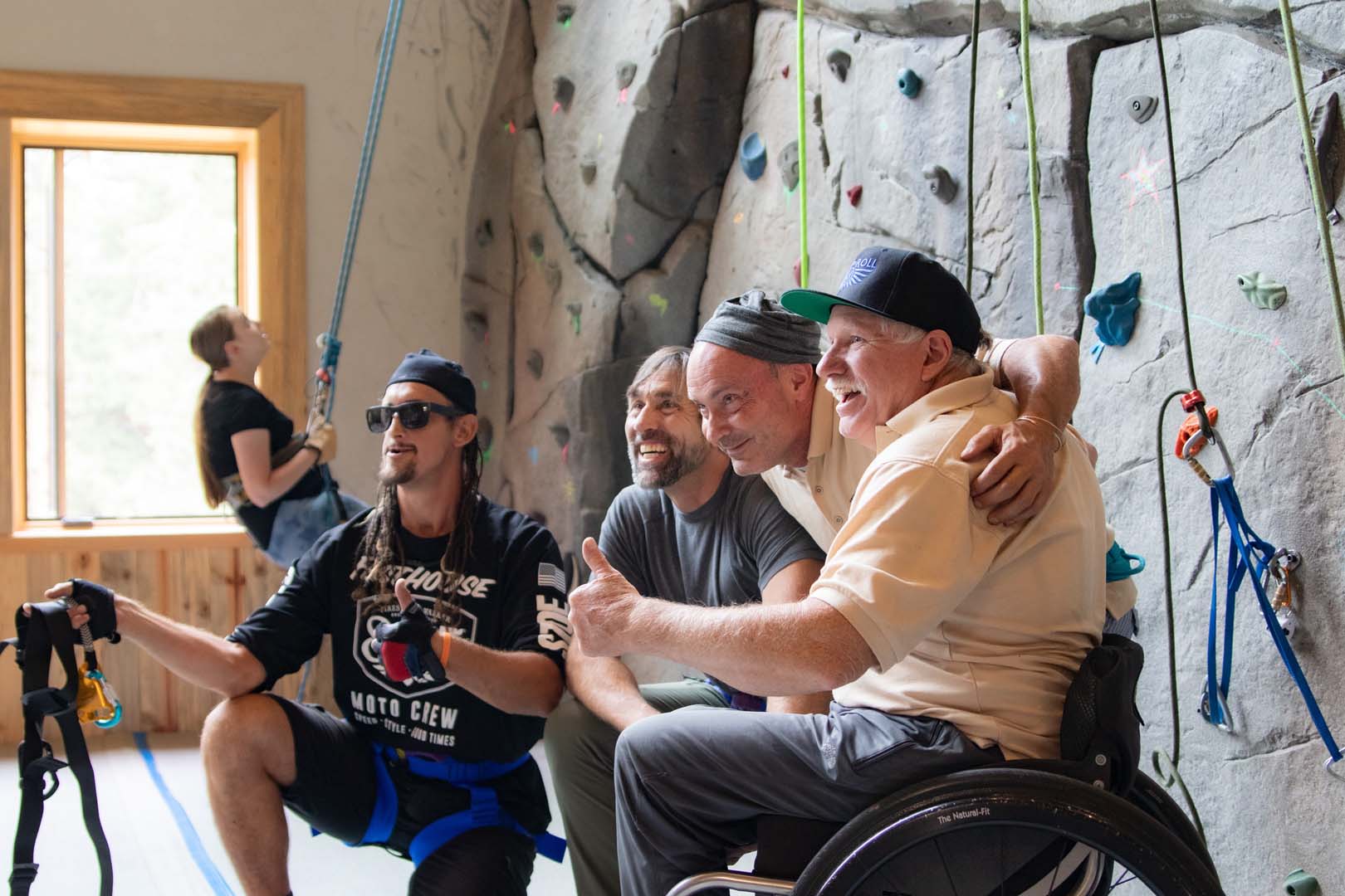
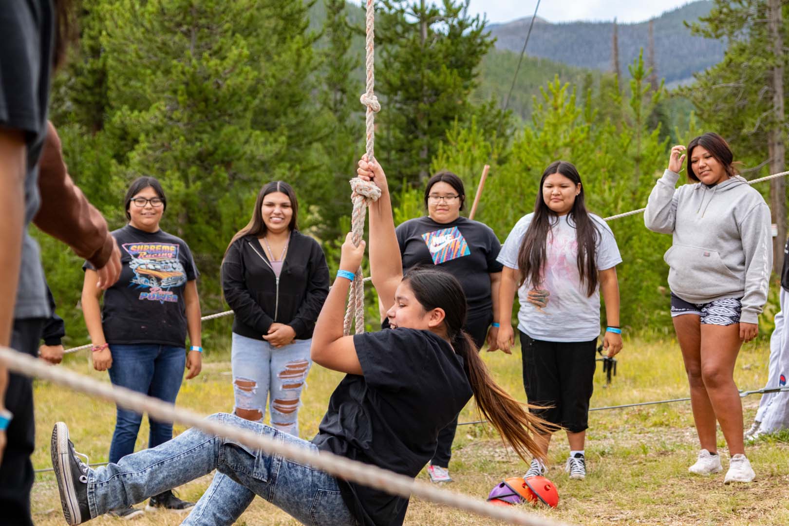
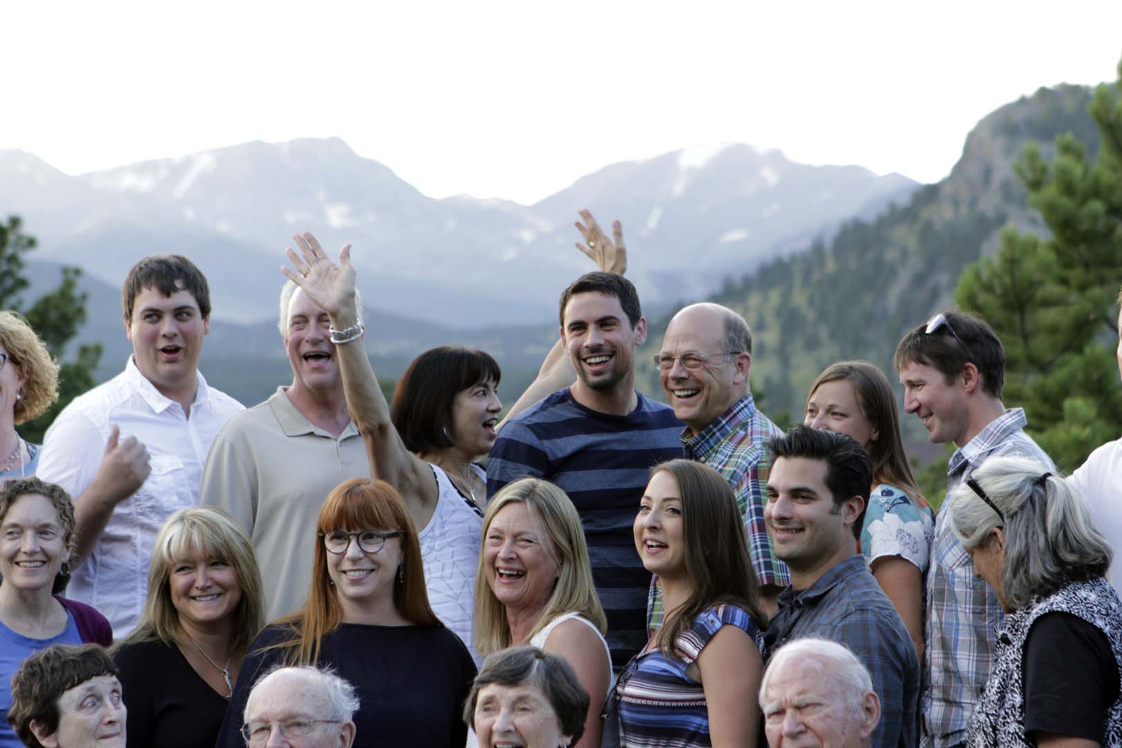
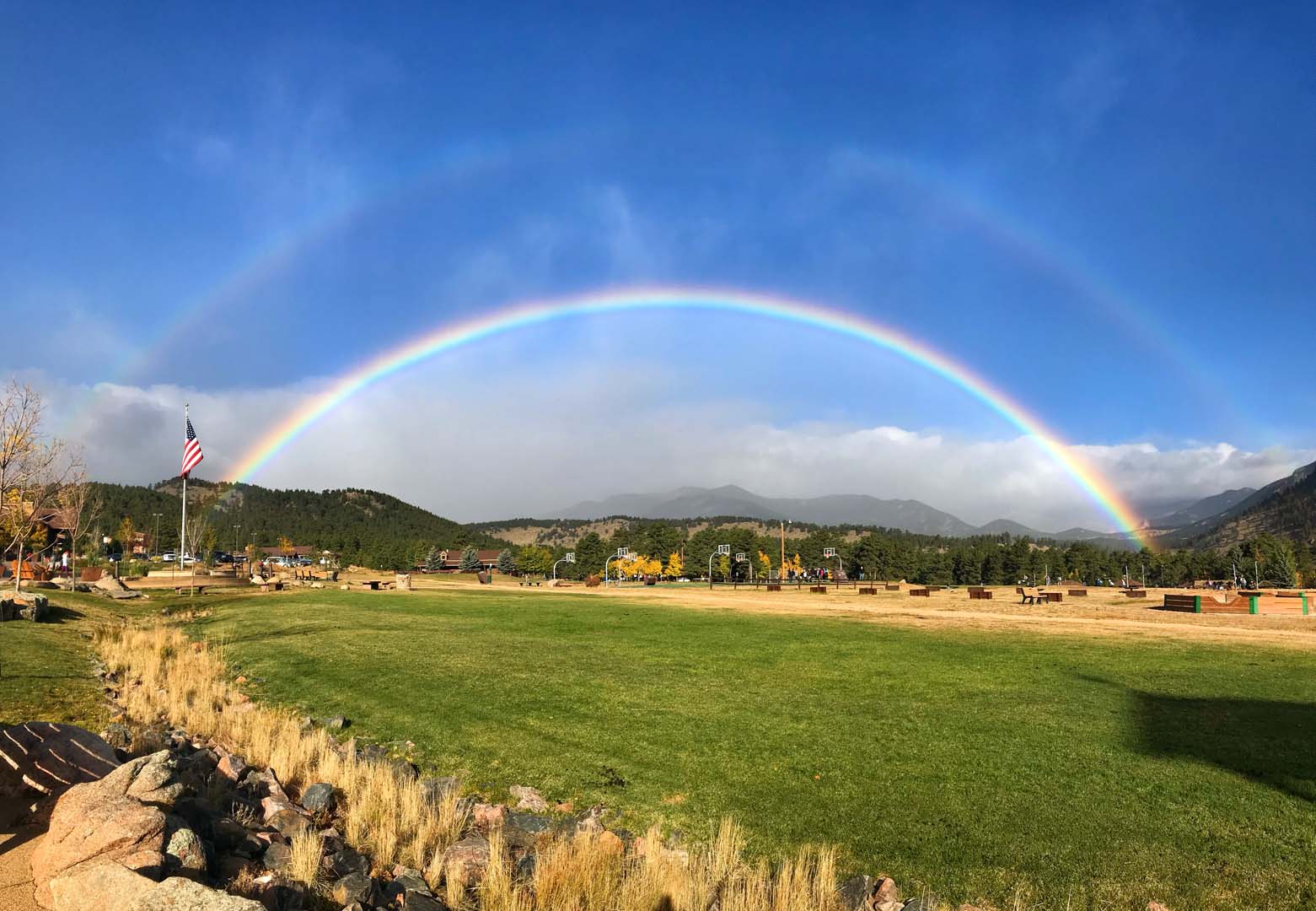
Top Activities & Outdoor Adventures at Estes Park Center
Explore the many things to do at Estes Park Center to make lasting memories every season and discover new ways to connect to your purpose, potential, and each other.

Events Calendar
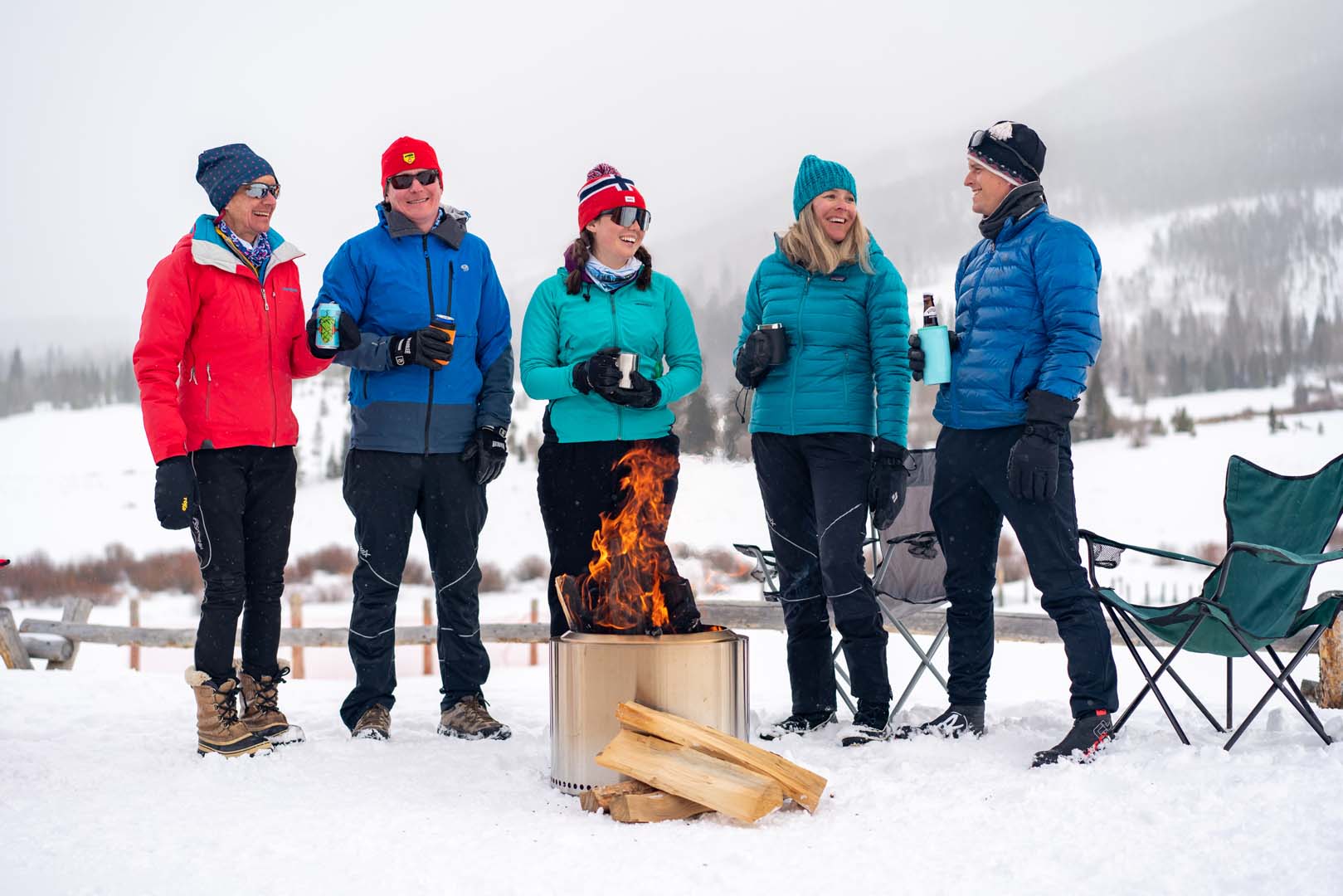
Activities
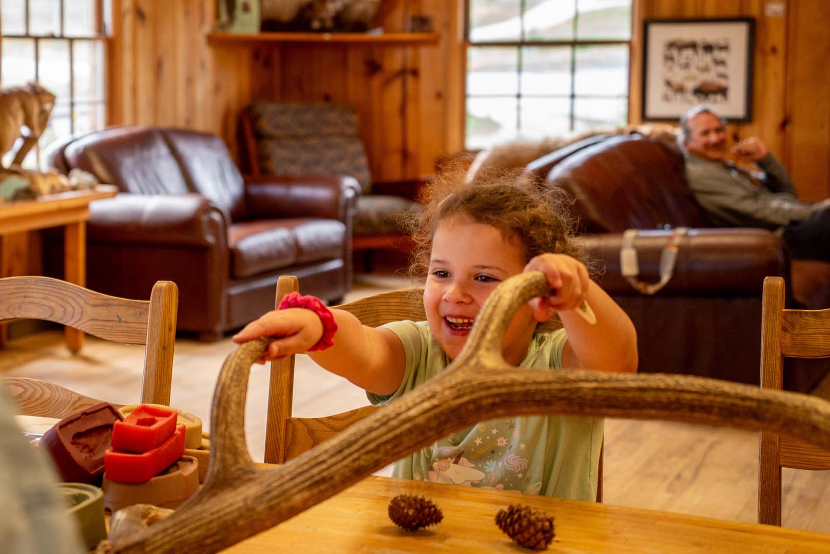
Youth Programs
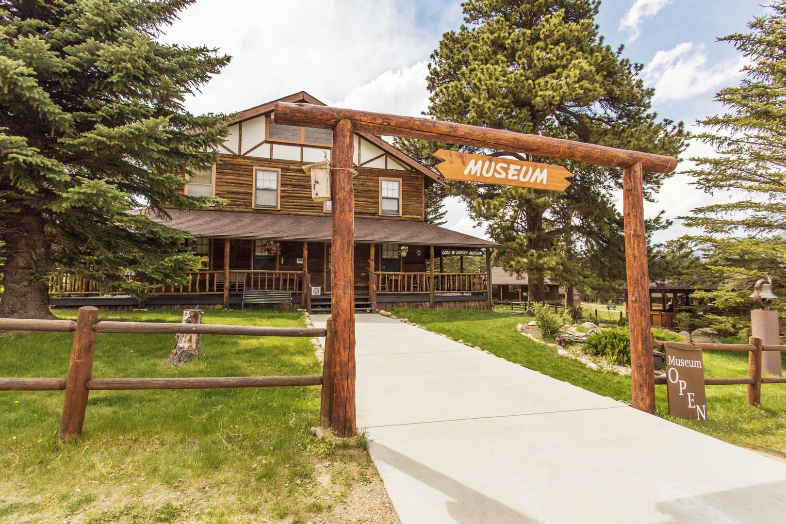
Local Attractions
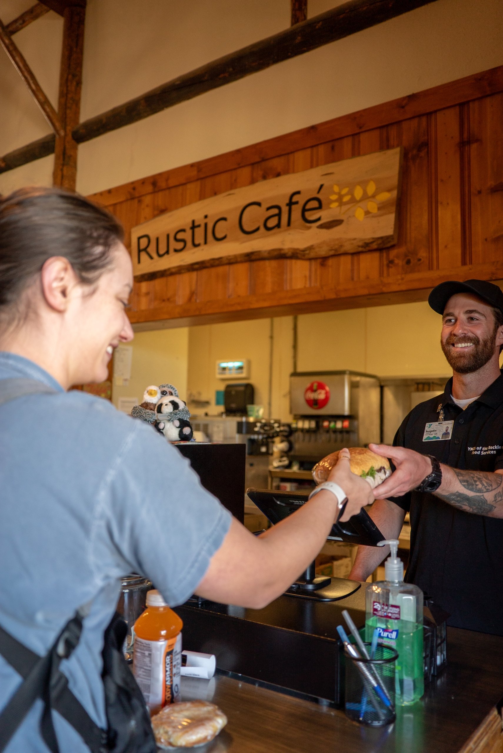
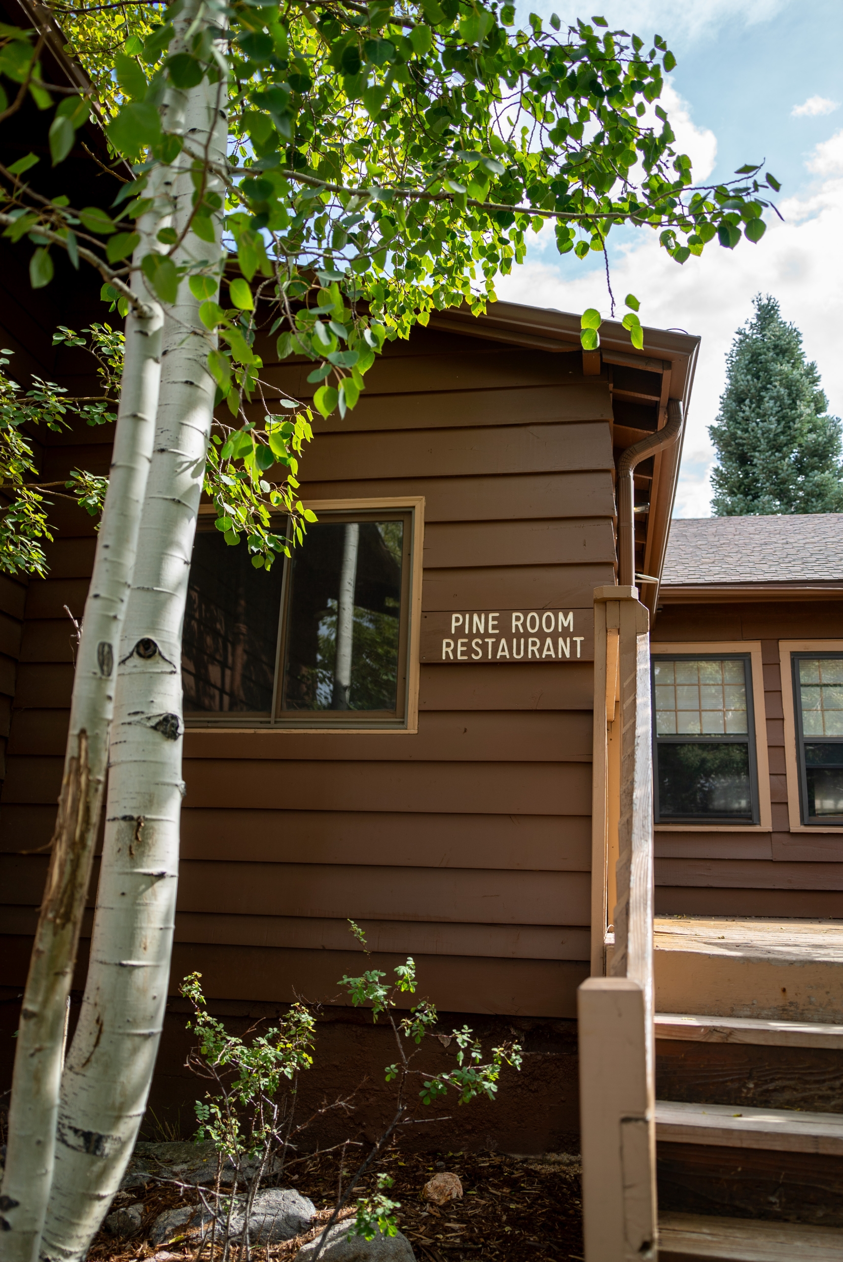
Best Dining Options at Estes Park Center

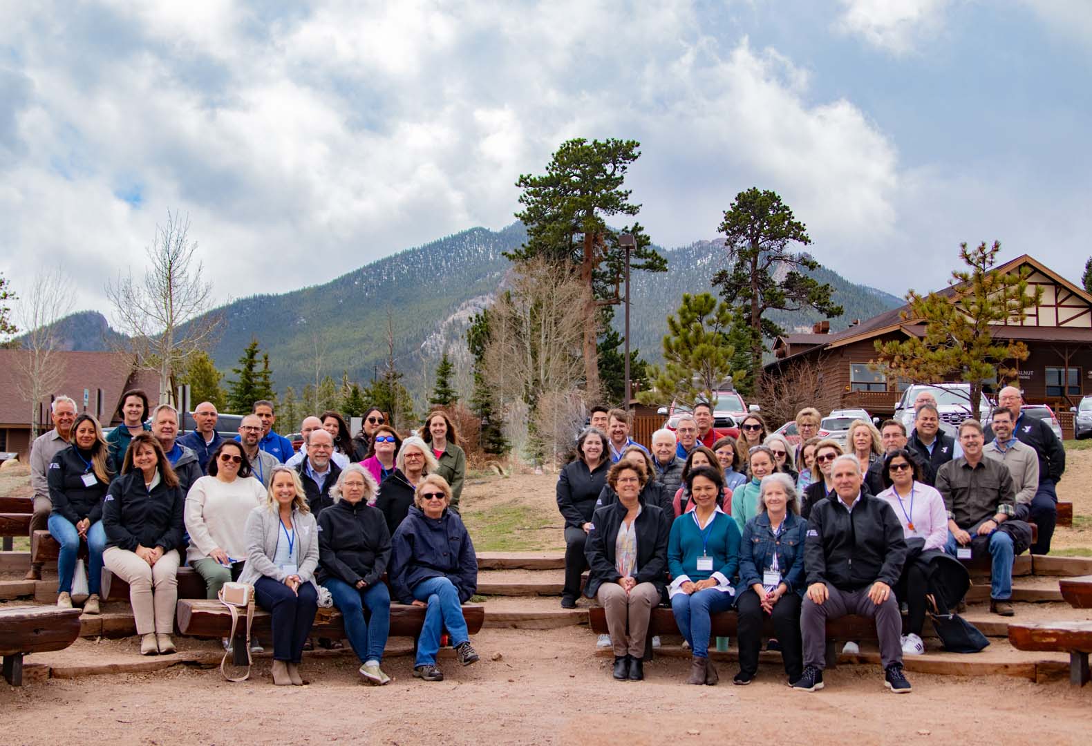
Plan Your Stay & Book Your Estes Park Getaway Today
Make the most of your stay at Estes Park Center with these helpful tips and directions.
FAQs for Estes Park Center
-
We carefully consider all special lodging requests, but we are unable to guarantee specific cabins or lodge rooms, the exact location of your accommodations, or fireplace type (wood vs. gas).
-
Cell service varies. At Estes Park Center Verizon, AT&T and T-Mobile have strong service. At Snow Mountain Ranch, Verizon has the best service. There is little-to-no cell service in Rocky Mountain National Park.
-
We have a unique booking system that includes booking windows for cabin donors, members, and the general public. Learn more in this handy guide.
-
Lodge rooms and cabins include bed linens, towels, and free Wi-Fi. Cabins also include kitchen utensils, dishes, pots and pans, and a coffee maker. We do not have air conditioning in any of our lodging, but cool mountain air makes up for it! Our lodge rooms and most cabin types do not include televisions — but you can borrow games and puzzles from our libraries and programs departments! Wi-Fi is free, with no password, but it’s not a secure network.
We offer a linen exchange, where you can bring your used towels and linens and exchange them for clean ones, but we do not provide housekeeping turn-overs during stays.
-
Alcoholic beverages are not sold on-grounds and may be consumed only in the privacy of your room, cabin or group meeting space.
-
Reservation deposits are fully refundable up until the time periods outlined below.
- Lodge Rooms
- From booking to 48 hours prior to arrival: Deposit is fully refundable.
Less than 48 hours prior to arrival: No refund available
Cabins
- Payment Schedule:
- At booking: First night’s stay deposit required
- 7 days before arrival: Remaining balance charged
Cancellation Policy:
- 14+ days before arrival: Full refund
- 13-8 days before arrival: Deposit forfeited
- 7 days or less before arrival: No refund
Change Policy
- No fee for changes prior to arrival.
- From booking to 48 hours prior to arrival: Deposit is fully refundable.
- Lodge Rooms
-
Though allowed by law in Colorado, YMCA of the Rockies has a strict “no marijuana” policy that forbids the possession, use and/or consumption of marijuana anywhere on our properties, in our facilities, or during participation in our programming.
-
Pets are allowed only in pet-friendly accommodations for $25/day (up to 2 pets are permitted). Most lodging types offer pet-free options for those with allergies. There is no pet fee for guests staying at the Snow Mountain Ranch Campground. Pets are not permitted in public buildings at the Y or on trails in Rocky Mountain National Park. Read our full Pet Policy here.
-
We offer many accessibility features in our lodging and programs. Please call our reservation line to discuss specific needs and how we can best meet them.
Contact: 888-613-9622
explore
Take a peek around our location, or focus in and learn more about one of our two unique locations.